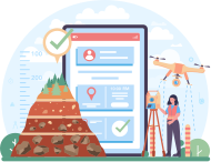
We provide advanced Geographic Information System (GIS) and Remote Sensing services that offer invaluable tools for analyzing and managing spatial data. By integrating satellite imagery and location intelligence, we enable organizations to process and interpret geographic information to make data-driven decisions in a complex, spatial world.
Transform large georeferenced datasets into actionable intelligence through expert spatial analysis and GPS integration. This approach enables organizations to visualize geographic relationships and optimize decision-making based on precise attribute data.
Remote Sensing & Imagery Interpretation
Drive informed decision-making in urban planning and disaster response with high-resolution aerial and satellite insights. We analyze environmental and farmland data to provide a comprehensive view of physical characteristics across large-scale territories.
Custom Mapping & Visualization
Enhance strategic decision-making by transforming extensive data layers into interactive geospatial visualizations. This approach simplifies complex urban and environmental scenarios, enabling more precise resource allocation and long-term planning.
Specialized Geospatial Solutions
Develop end-to-end "Smart" solutions by integrating GIS with IoT and cloud computing. From intelligent tracking to agriculture management, we build the software infrastructure required for modern, connected industries.
Featured Projects
Agriculture / Horticulture Management Software
Scope
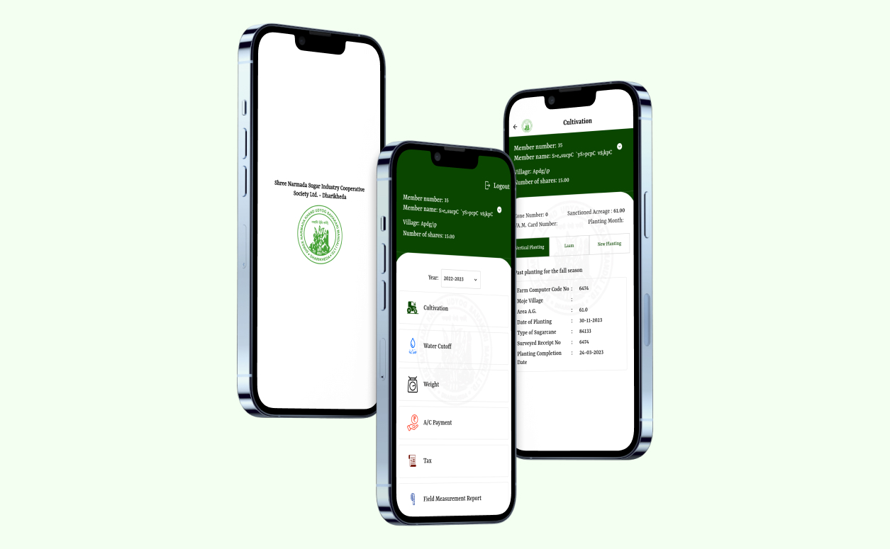
Developed a specialized platform leveraging remote sensing and GIS to help agricultural organizations monitor crop health and farmland changes.
Outcome
Improved resource allocation and decision-making for large-scale farming operations through real-time environmental monitoring and spatial analysis.
Token-Me Platform (Geospatial IoT)
Scope
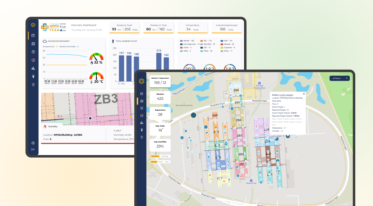
Engineered an intelligent construction platform for a Netherlands-based organization that integrates IoT sensors with geospatial tracking.
Outcome
Enabled construction companies to reduce costs and improve safety by managing assets and personnel within a precise geospatial framework.
Customers
Why Choose Us
30+ Years of Engineering Excellence delivering innovative software and product solutions powered by emerging technologies.
Leaders in Location Intelligence, enabling smarter decisions across urban planning, agriculture, and environmental sectors.
ISO 27001:2022 & ISO 9001:2015 Certified, ensuring top-tier security and quality standards.
Global Delivery Presence across India and the Netherlands, serving clients in 22+ countries.
Agile & Scalable Development with Scrum and SAFe methodologies.
Engineering-First Mindset with clean code and DevSecOps at the core.
Success Stories
Our Work in GIS & Remote Sensing | Location Intelligence
We’ve worked with clients operating in diverse industries and sectors. We succeed by combining a passion for digital and a passion for people.